Today we are traveling thru some of the last-settled land in Utah. Not until the 1950's was there a paved highway thru this remote area of the state. We pass thru the very small towns of Tropic, Cannonville, and Henrieville on our way to Escalante, Utah. This sparsely populated, rugged landscape is all part of the Grand Staircase-Escalante National Monument. The road between Escalante and Boulder is called the Journey Through Time Scenic Byway. One section thru the most rugged area is called the "Million-Dollar Highway". The views all along the way are so awe-inspiring!


We are headed to Capital Reef National Park this morning, and we are really enjoying this remote section of Utah while traveling there. Unbelieveably remote and desolate, but also such rugged beauty abounds.
"Capital Reef National Park is a giant buckle in Earth's crust and stretches across south-central Utah. This vast warping of rock, created 65 million years ago by the same great forces later uplifting the Colorado Plateau, is called the Waterpocket Fold. Capital Reef National Park preserves the Fold and its eroded jumble of colorful cliffs, massive domes, soaring spires, stark monoliths, twisting canyons, and graceful arches. The world of the Waterpocket Fold stretches 100 miles--and beyond." (This is the description found in the Capital Reef brochure from the National Park Service.)
After leaving the Visitor Center, we toured the Gifford Farmhouse, depicting what life was like over a hundred years ago, and took a short walk along the Fremont River which flows thru the Park. Then we drove the 8-mile paved Scenic Drive thru the Park.


However, the real fun began at the end of the 8-mile paved road! We decided to continue down the gravel/dirt road into Capital Gorge! Oh my goodness, I was driving at the time and I was a little terrified at how narrow the road was, winding thru the immense canyon walls soaring up into the sky! I hope we don't meet anyone coming from the other way. Probably not, because we are probably the only tourists who have ventured down this "skinny" road winding ever deeper into Capital Gorge!


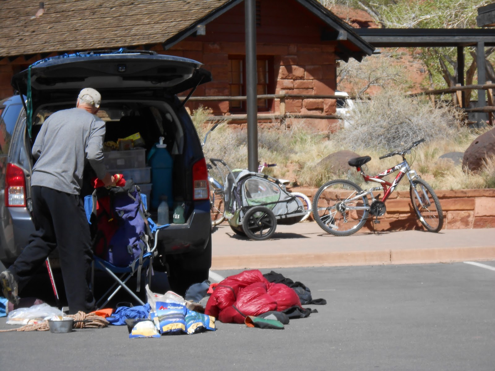
What spectacular scenery around each curve of the Canyon! What a surprise when got to the end of the gravel/dirt road! We were not alone after all!!


Yes, there is a small gravel parking area where the road ends, and it was full of other curious tourists just like us! Also a picnic pavillion, and a small building with a composting toilet! There is a hiking trail that continues on deeper into the Gorge from here. It is amazing to see these flowers in such a barren rocky landscape struggling for survival!
Now we must retrace our route on the gravel/dirt road (Tom's driving now!)to get back to where the paved Scenic Road ended. We meet several tourists who are walking down the road in the direction we just came. They were worried about driving their vehicles on this narrow road with no pavement. We figure "Hey, we only live once, go for the adventure!"
Traveling back toward the Park entrance, we get to view the cliffs lining the road from a different angle. More photos!


More from Friday, May 3rd in my next post-----------
No comments:
Post a Comment