Thursday Feb. 6th (day 6)
We woke up to bitter cold, wind, and snow this morning here in Monahans. We bravely head out in search of the Million Barrel Museum and also Monahans Sandhills State Park, which are both close by.
In 1928, during the huge oil boom in west Texas, some folks got rich quick and big money was flowing freely. The idea was hatched to excavate a large hole in the ground, line it with concrete, and fill it with a million barrels of oil, however the oil-storage facility was soon abandoned because of leakage! Converted in 1987 to a museum, it now features the relocated Holman House Hotel, the first Ward County Jail, antique oil field equipment, and an amphitheater.
We did not go in any of the buildings nor did we see anyone while we were walking around. It is really not a nice day to be outside! It is gray and overcast, windy, and very cold!
We drive just a little further out of Monahans and come to the entrance to Monahans Sandhills State Park. This is a much visited and very popular park in warmer weather, where kids and adults alike frolic about the huge sand dunes, slide down them on plastic discs, roll down them, picnic and camp out within the Park. Today we just get out of the car, go inside to check out the Visitor Center (and to get warm!), watch a video about the fun activities here in warm weather.
another place to come back to in warmer weather...
We keep driving eastbound on I-20 toward Odessa and take exit 108 just west of Odessa to check out the Odessa Meteor Crater & Museum.
Not going to happen today though, it is closed. Too cold, I guess! So we make a U-turn and head back to the interstate highway as the wind blows the falling snow all around us.
A few miles later we decide to exit off the interstate and check out downtown Big Spring. Big Spring is located in a rocky gorge between two high foothills of the Caprock escarpment. It's name is derived from the huge natural spring in Sulphur Draw that provided water to buffalo, antelope, wild mustangs and coyotes, as well as the Comanche and Shawnee tribes. The first white man used the site in 1849 as a campsite on the Overland Trail to California. The spring is now located within Comanche Trail Park. Entirely to cold today to check out the spring but we did see some interesting architecture and only one tall building in the whole town, the old Settles Hotel.
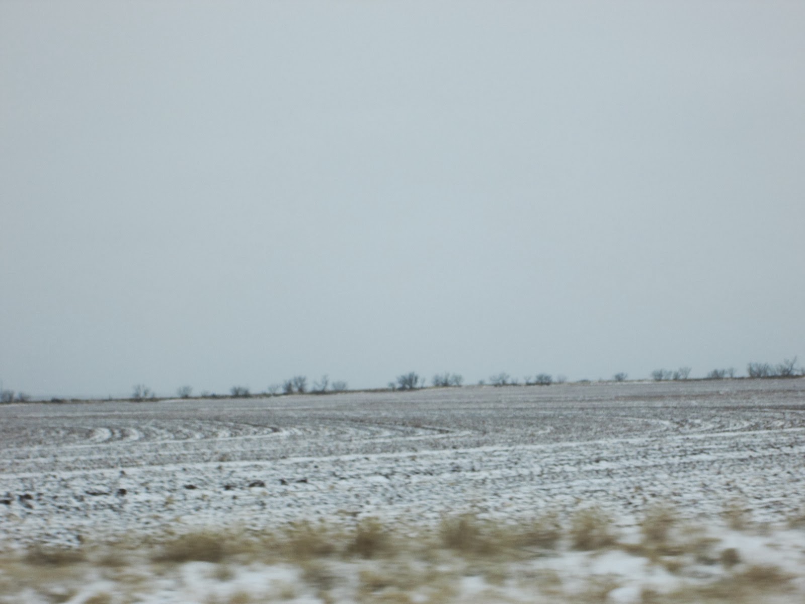
As we drove east out of Big Spring we saw many freshly plowed fields, all dusted with a thin layer of snow.
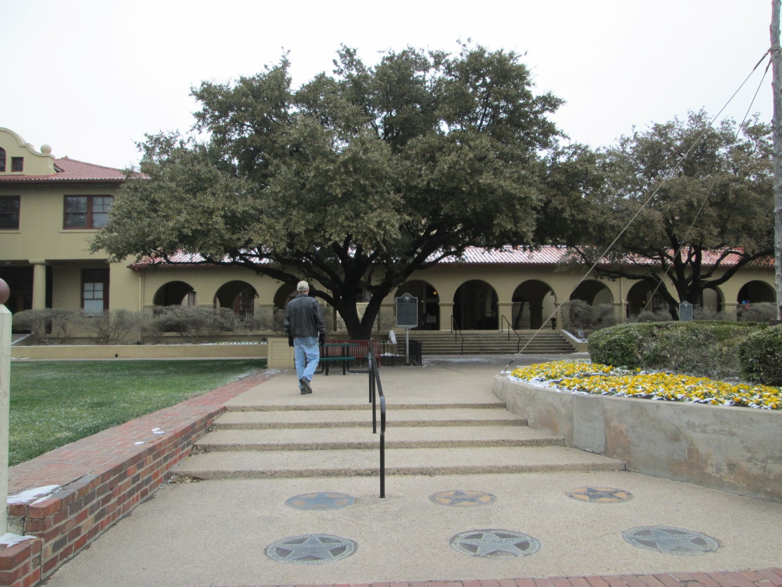
Our destination today is Ft. Worth, so we drive on thru blowing snow and frigid temperatures and are very thankful to reach our hotel (which by the way is a super nice Quality Inn at only $90 per night) in the north part of Ft. Worth before the evening rush-hour traffic begins.
Friday Feb. 7th (day 7)
Great night's sleep in a very comfortable bed in a quite large hotel room with all the amenities we could possibly need, then we enjoyed their complimentary breakfast which had plenty of hot and cold food selections. Can you tell I am still a little "bent" about the Quality Inn in the tiny little Podunk town of Pecos charging $165 per night. I guess it is all about supply and demand, and there are plenty of oil companies sending workers out to west Texas to work and they need a place to sleep! We don't mind paying more for hotels sometimes, and we certainly have many times before, just not in Pecos! Oh well, I'll move on now...
Our first excursion of the day was to visit the Bureau of Engraving & Printing. The Western Currency Facility Center is located in North Ft. Worth. We were required to park in a visitor lot, then enter a heavily armed screening building, similar to airport security only stricter. No cell phones, no cameras, no bags, no purses, nothing allowed through. Then we were transported in their guarded shuttle van to the entrance of the Visitor Center where we went in and watched a short video first and learned how billions of dollars are printed at the Bureau of Engraving & Printing. Then we began the state-of-the-art tour. We were each given a handheld receiver for the narrated tour and as we slowly advanced along the 2nd Floor catwalk/hallway peering down thru the huge plate glass windows to watch the employees and printing presses below us, we could listen to an explanation of what we were looking at. What we were looking at was huge hi-tech printing presses, printing large sheets of $$$ bills of all denominations, other machines cutting, banding, stacking, shrink-wrapping and palletizing, and more shrink wrapping of billions of dollars of our U.S. Currency! Incredibly fascinating!! As the U. S. Government's security printer, the Bureau of Engraving & Printing is responsible for the design, engraving, and printing of all U.S. paper currency. Over half of the nation's currency is produced in Ft. Worth. www.moneyfactory.gov (The only other BEP is in Washington D.C.)
Next we headed a little ways south to Ft. Worth's Historic Stockyards to catch the morning show of the longhorns being driven right down the old brick streets in the Historic Stockyards. There is so much history here about the days of cattle being driven to the processing plants both here in Ft. Worth and on north into Kansas back in the "pioneer days"!
Here comes a cowboy now getting ready to do his part in herding the longhorns....
and this is no cowboy, it's my Sweetie, waiting on the herd...
The streets are pretty deserted here in this normally busy tourist district, however it is so cold today not many brave souls are venturing out to the Texas Cowboy Hall of Fame, or to watch the longhorn drive....
These local cowboys do a lot of public relations work among the visitors as well as driving the longhorns....
Today they are bundled up trying to stay warm....
This sign was outside the Stockyards Museum, where we went inside and watched a short film about the cattle drives, packing plants, etc.
and now it's time for the world's only daily cattle...
This Ft. Worth longhorn herd is herded down East Exchange Avenue right in the middle of the Historic Stockyards twice daily-year round...
for the enjoyment of tourists like us....
Back in the day, back when millions of head of cattle were passing thru here each year, there was two huge meat packing/processing plants right here by the railroad track--Armour and Swift.....
It is so cold that even the fountains are freezing.....
Stockyards Station is crowded with tourists when it's warm weather, and it includes a stop for the Grapevine Vintage Railroad, but not today....
After leaving the Historic Stockyards we went to the Amon Carter Museum of American Art www.cartermuseum.org
It was founded in 1961, fulfilling Amon G. Carter's (1879-1955) desire to establish a museum, free and open to the public, to display his collection of art by Frederic Remington and Charles M. Russell. During the ensuing decades, the Amon Carter's holdings expanded to include a broad array of American art, and today the museum houses more than 200,000 objects.
Then it was time for lunch so I pulled out from my purse an envelope in which I carry an article from a 2006 Texas Monthly magazine entitled "The 63 Tacos You Must Eat Before You Die". Over the years we have sought out several of the restaurants rated in the article and tried their particular style of tacos. Today we seek out Blue Mesa Grill on S. University and enjoy their Steak Street Tacos! (actually we shared a combo platter of steak/shrimp/chicken tacos) As usual it was very delicious, one more taco place marked off this tattered list I still carry! I guess it is obvious that we love Mexican food!
After we finished our "late lunch" , we wound our way thru the streets of Ft. Worth going in an ever southeast direction toward I-20 eastbound toward home sweet home! This has been a great vacation, we've viewed some awesome scenery, seen some unusual sights, enjoyed areas of this great state of Texas that we have never visited before-some places we intend to revisit in warmer weather-but now we are so very ready to be home, build a fire in the wood stove, relish our simple life here at home for a couple of days before Tom has to go back to work.
Wednesday Feb. 5th
Before bedtime last night, we went next door to our hotel to the Big Bend Café to grab a sandwich or something. It was a very somber atmosphere as all the employees in the Café and the convenience store were talking in hushed tones about a tragedy that had occurred that morning in their small town of Terlingua. Unbeknown to us as we were heading out to the river, a murder was taking place on the other side of town. When a kitchen employee arrived to work at LaKiva Café/Bar she discovered the body of the owner, Glen Felts, lying in the parking lot and immediately called 911. By the time we got back from our canoe trip down the Rio Grande the Brewster County Sheriff Dept. had already arrested Tony Flynn as a suspect in Glenn's murder (blunt force trauma/head). Here's the thing, apparently Glen and Tony were friends and were both well known and respected in the community. Naturally everyone was shocked and puzzled as to why this had happened in this small tight-knit community.
Anyway after we went next door again this morning for another of Big Bend Cafe's awesome Mexican breakfasts, we headed out northbound along Hwy. 118 toward Alpine. We planned to take a scenic drive thru part of the Davis Mountains this morning however as we drove north and increased in altitude, the temperature kept dropping and we were encountering freezing fog(23 degrees!) before we even reached Alpine. We could barely see a hundred feet ahead, no scenic views to be had in the mountains this morning. It reminded me of many times when I was hiking the Appalachian Trail and would struggle for more than an hour to reach the top of a mountain only to be enveloped in fog by the time I reached the top, obscuring any possible views.
Along the way (before we reached the heavy fog) on Hwy.118 we saw this unique use of old tires; stacked up, filled with dirt, makes a sturdy fence. That's called "using what you have on hand"!
We passed by Black Mesa but did not stop.
When we arrived in Alpine we decided since it was so foggy in the higher elevations today, we would head west to Marfa and pick up U.S. Hwy. 90 west toward I-10 then on to El Paso.
After miles and miles on U.S. Hwy 90 of nothing but scrubby desert land we saw this:
It is an aviation radar tracking station, close enough to the Rio Grande that it may be a Homeland Security facility.
Once we reached I-10 we cruised on into El Paso very quickly. We were shocked to see the Speed Limit 80 signs on I-10! We were quiet comfortable staying at 75 mph though.
A beautiful bridge as we were entering the city...
We kept looking to our left as I-10 skirted so close to the Rio Grande River and thought we could see a fence but weren't sure. We made a swing thru downtown and by the Juarez Bridge border crossing. Then right after that we definitely saw the high fence along the border that we have heard so much about in the news.
El Paso is such a busy thriving city (pop. 650,000) with modern office buildings, large retail shopping centers, museums, and all the other amenities and convenienes common in any large U.S. city, but then just on the other side of that fence is Juarez, Mexico with more than a million residents packed together in crumbling, dilapidated houses, crowded together, depressing. I am profoundly grateful to have been born here in America and have all the privileges and conveniences we enjoy, and the opportunity to travel and see different areas of our country.
As we make our way north out of downtown El Paso we see the majestic peaks of the Franklin Mountains............
We stop for lunch at a Five Guys (great burger place). The city of El Paso actually wraps around in a "U" shape around the Franklin Mountains State Park. It is the largest State Park in an urban setting at more than 24,000 acres of rugged terrain in 40 square miles of Chihuhuan desert wilderness, scrub vegetation and open space with 135 miles of multiuse trails.
We exit off I-10, and drive east along Loop 375, climbing higher and higher into the Franklin Mountains State Park and when we reach Smuggler Pass (elevation 5,250 ft.) we pull over at the scenic viewpoint and the wind is whipping so hard Tom can barely stand up, so he braces himself on a concrete retaining wall!
The city of El Paso stretches out in the valley below us......
This is the view as we head down the other side of the pass....
Just ahead in the valley lies Fort Bliss, a U.S. Army Air Defense Center and combat training for allied nations.
As we exit off Loop 375 we see this interesting bridge.....
We leave Loop 375 and head east on U.S. 180/62 toward Guadalupe Mountains National Park where we would like to do a little hiking and maybe campout there. (We have not yet gotten our tent/cots/sleeping bags out of the car's trunk this trip.) There is not much to see as we drive along, just scrubby desert plants.
The temperature is steadily falling as we climb up into the Guadalupe Mountains.
The route over Guadalupe Pass is one of the highest highways in Texas. It climbs up out of the desert into the foothills of the Guadalupe Mountains, a rugged mountain range dominated by the sheer cliffs of El Capitan Peak. As we get higher and it gets colder we start to see freezing fog and ice accumulating on the vegetation.
Oh yippee! Guess we won't be doing any camping out after all, no hiking either. Just hope the road doesn't begin to ice over!
It is so foggy we can't see far but what we can see is covered in ice.
As we pass over Guadalupe Pass the temperature has reached 16 degrees and the wind is whipping at about 60 mph!
Oh my goodness, we just keep on driving. We can come back here sometime when it is just a tad bit warmer!
We take F.M.652 east toward the tiny town of Orla. We spot this very large ranch brand sitting on a hilltop.....
Once we reach Orla we drive south on U. S. Hwy. 285 and see nothing but oil field workers, trucks and equipment rolling down the highway to Pecos. We plan to to spend the night in Pecos (which is a small west Texas town) but the Quality Inn in Pecos wanted $165.00 per night, what? (filled up with oil field workers) so we kept driving east on I-10 to Monahans and discovered the same thing there....higher motel prices because of the demand from so many oil/gas workers in the area. The nice gal at the front desk in the Quality Inn in Monahans steered us to an America's Best Value Inn (newly remodeled) where we stayed the night. At $90.00 I guess it was the "best value" we would find in oil-rich west Texas.
Tomorrow our destination will be Fort Worth!


